Maps. In Voyage en Pologne, Russie, Suède, Dannemarc, &c., maps are the majority of the book’s illustrations. Most maps are larger than the page’s size so that they will be folded into pages.
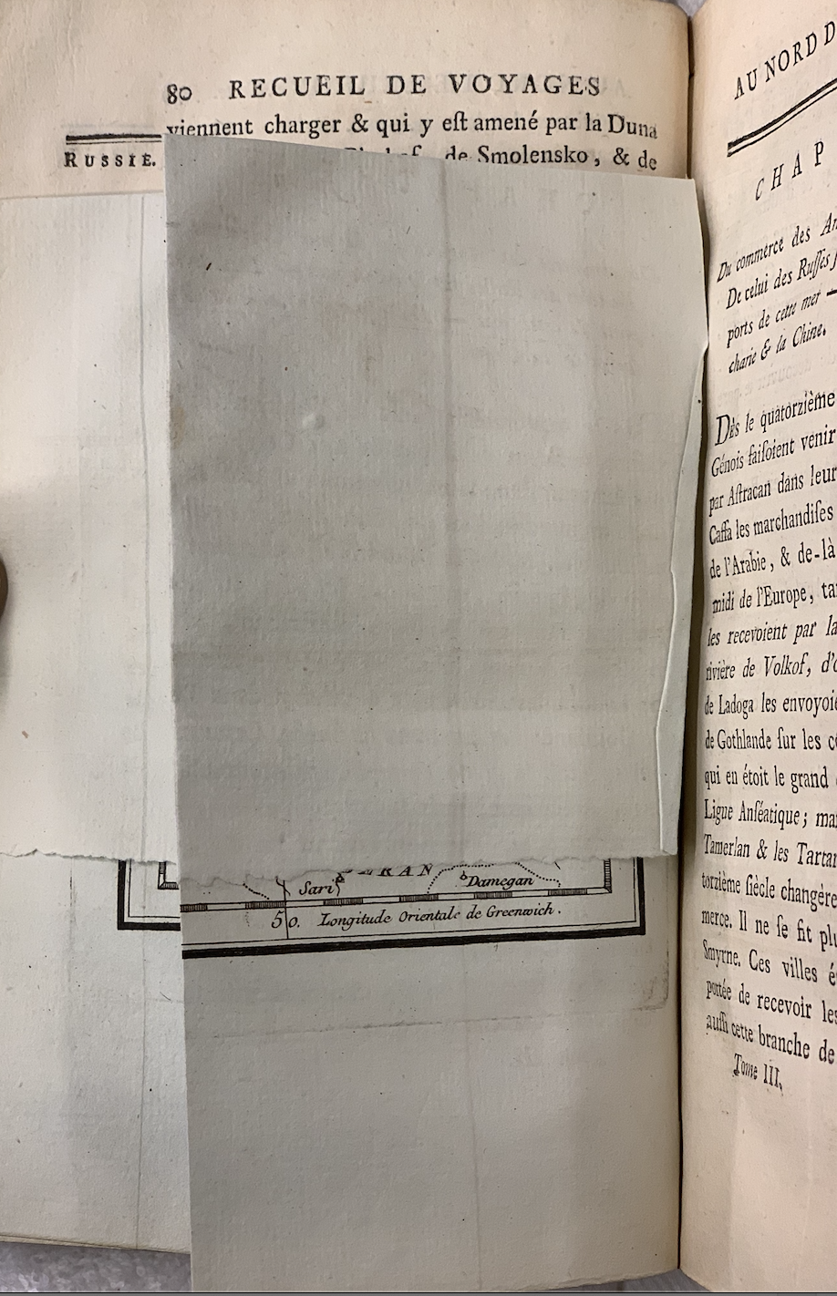
We can see from Figure 1. that there is a difference in color between the page and the map. The color difference is because the maps’ paper is thicker and thus more durable, making the maps be able to withstand multiples uses and possible damage.
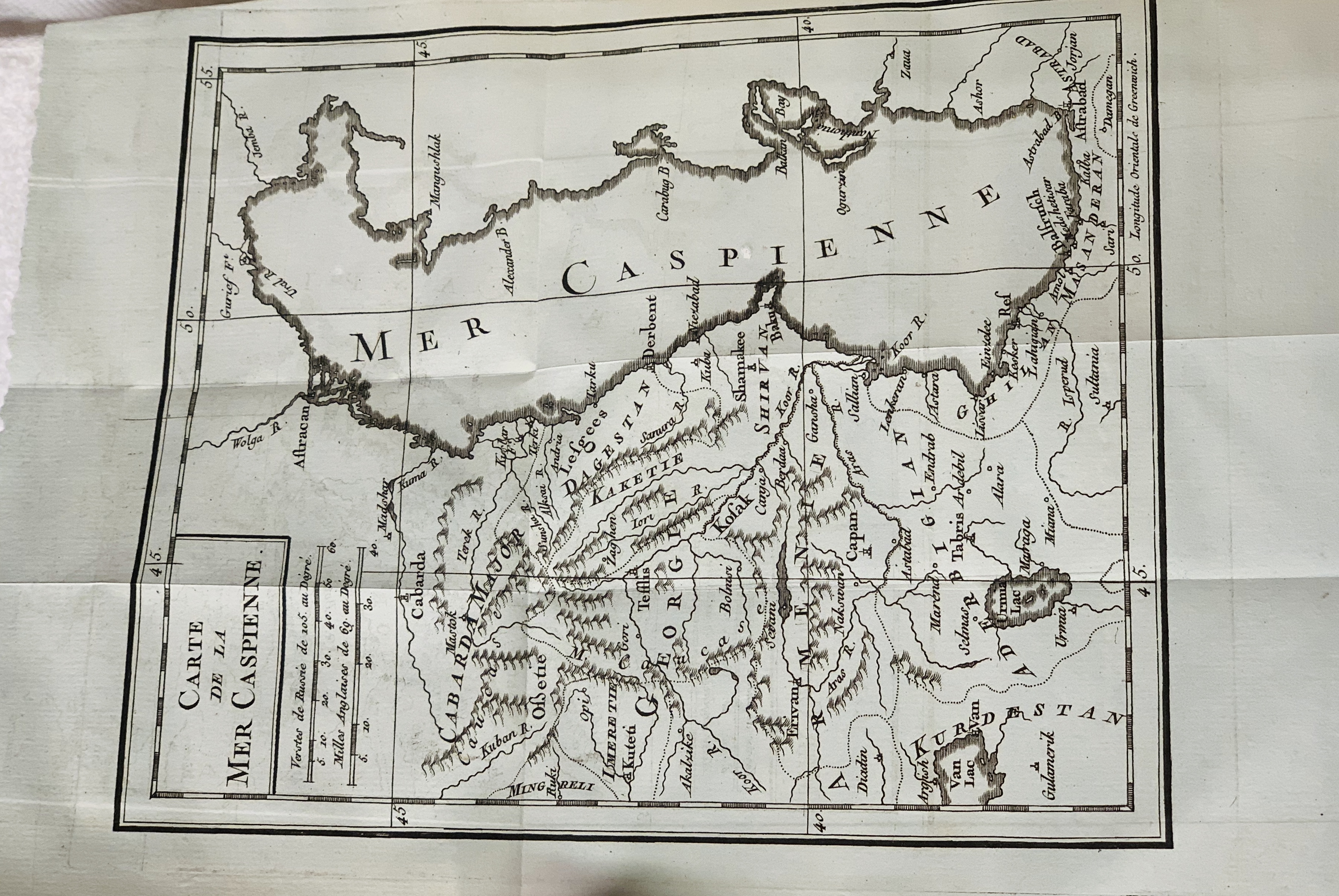
Looking more closing, I think this illustration, a map of the Caspian Sea, is engraved on copperplates as the lines are refined, and there are imprints on the edge of the map. From the map, we can see that the designer of this map, most possibly a he, has carefully taken care of the details. The designer chose different kinds of typefaces to help the readers navigate through various geographic features, and he also used lines to indicate lakes, mountains, lands, etc. On the bottom of the map’s name, “Carte de la Mer Caspienne (the map of the Caspian Sea),” we can find two units of measure, the English one and the Russian one with ways of converting them to the French one. Since this is a French translation of the English copy, the French measurement is expected. The Russian one indicates something else. First of all, the Caspian Sea is a large landlocked salt lake that is bounded by Russia and other central Asia or Middle East countries. Moreover, the Russian measuring unit tells us about the potential audience who is familiar with it. The fact that readers who adopt Russian measurement will read this French version, again shows the influence of French and France in the eighteenth-century, as I mentioned in the last blog.
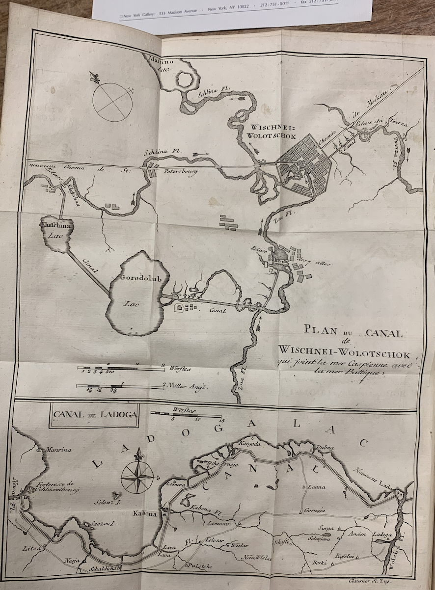
Unfortunately, there are no names to give credit for the map of the Caspian Sea. Another bigger map in the later chapter, the map/plan of Canal Wischnei-Wolotscheok, has a line on the lower right corner read “Clausner Sc. Lug.” I think “Clausner” may be the printer’s surname or the owner of the printing shop. We can tell that the two maps are printed and/or designed in different places since the second one’s paper color is more yellowish, and the reading aids are various: the route of the canal has compasses on it to mark the direction.
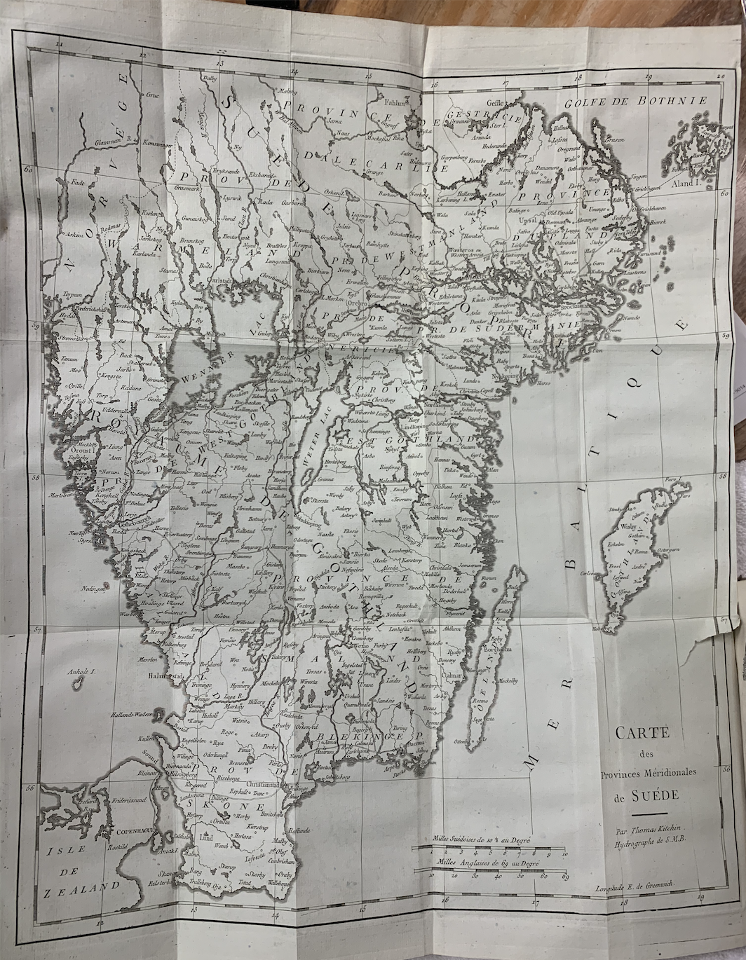
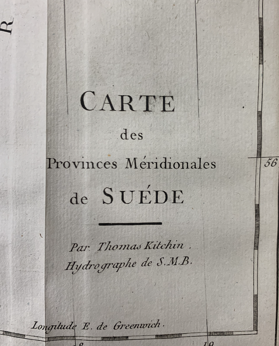
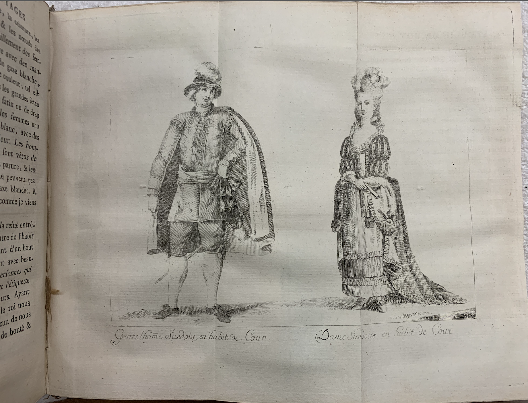
Another one, the map of Sweden’s southern provinces, has marked “by Thomas Kitchin, Hydrographer of S.M.B.” (seeing from Figure 4. and 5.). From the style of the map, I think this one and the Caspian Sea one might be printed in the same print shop. There are also illustrations besides maps, like portraits that show the local cultural activity or manners.
Previous blogs about Voyage en Pologne, Russie, Suède, Dannemarc, &c.:
1 Brief Introduction: “Boats against the current”: Discovering Northern Europe and Asia
2.1 Origins: Dive deeper into the origins: a lifelong career of two passionate travelers
2.2 Additions: What else besides the content?
Want to read more? Here are other blogs about Voyage en Pologne, Russie, Suède, Dannemarc, &c:
3 Afterlives: I found it on the Google books
2 thoughts on “To travel, you need ______.”
Comments are closed.