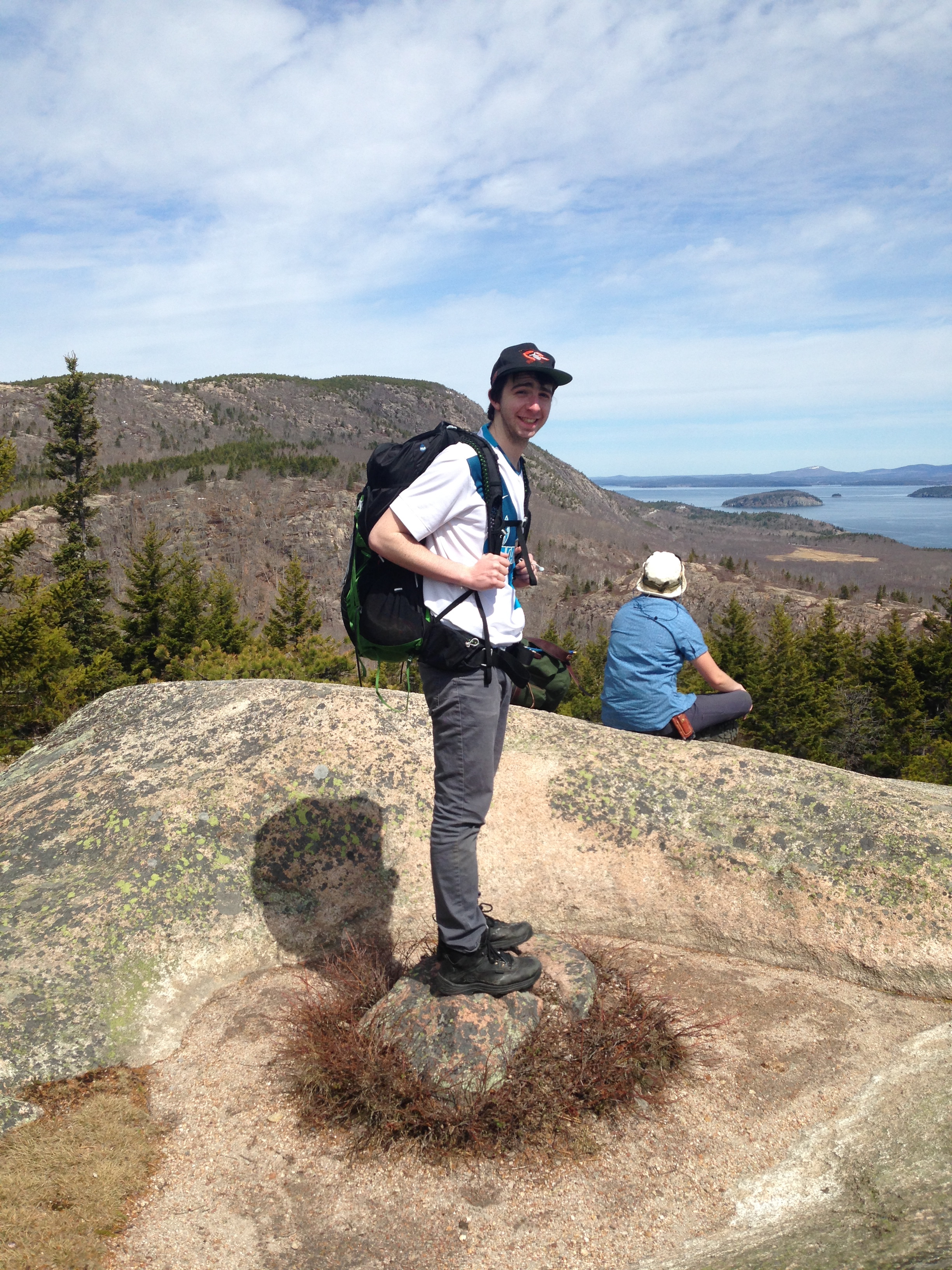
Western Connecticut or Eastern Europe?

By Gregory Naigles

Date: 6/27/15

Location: Kent, Connecticut

Difficulty: 3.2


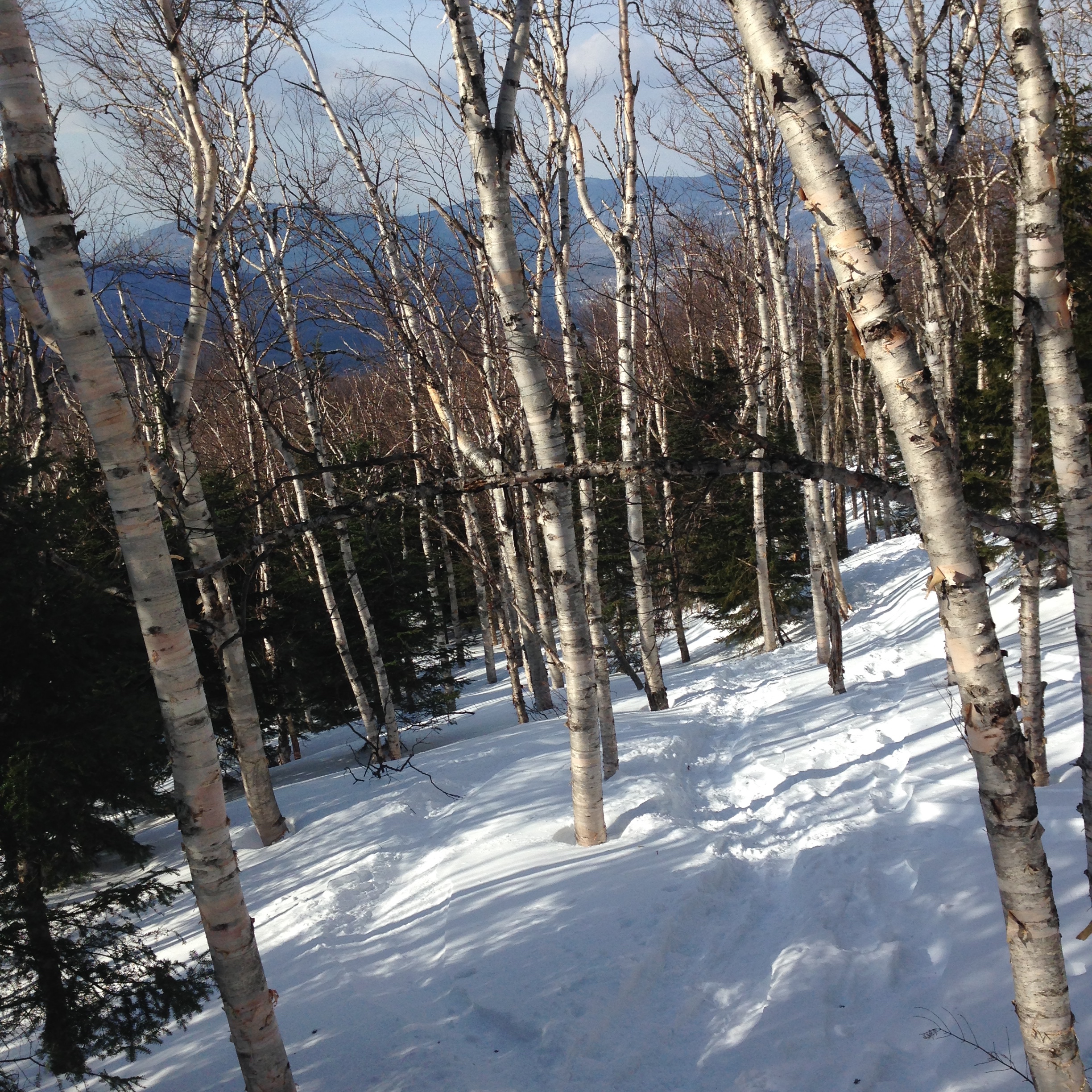
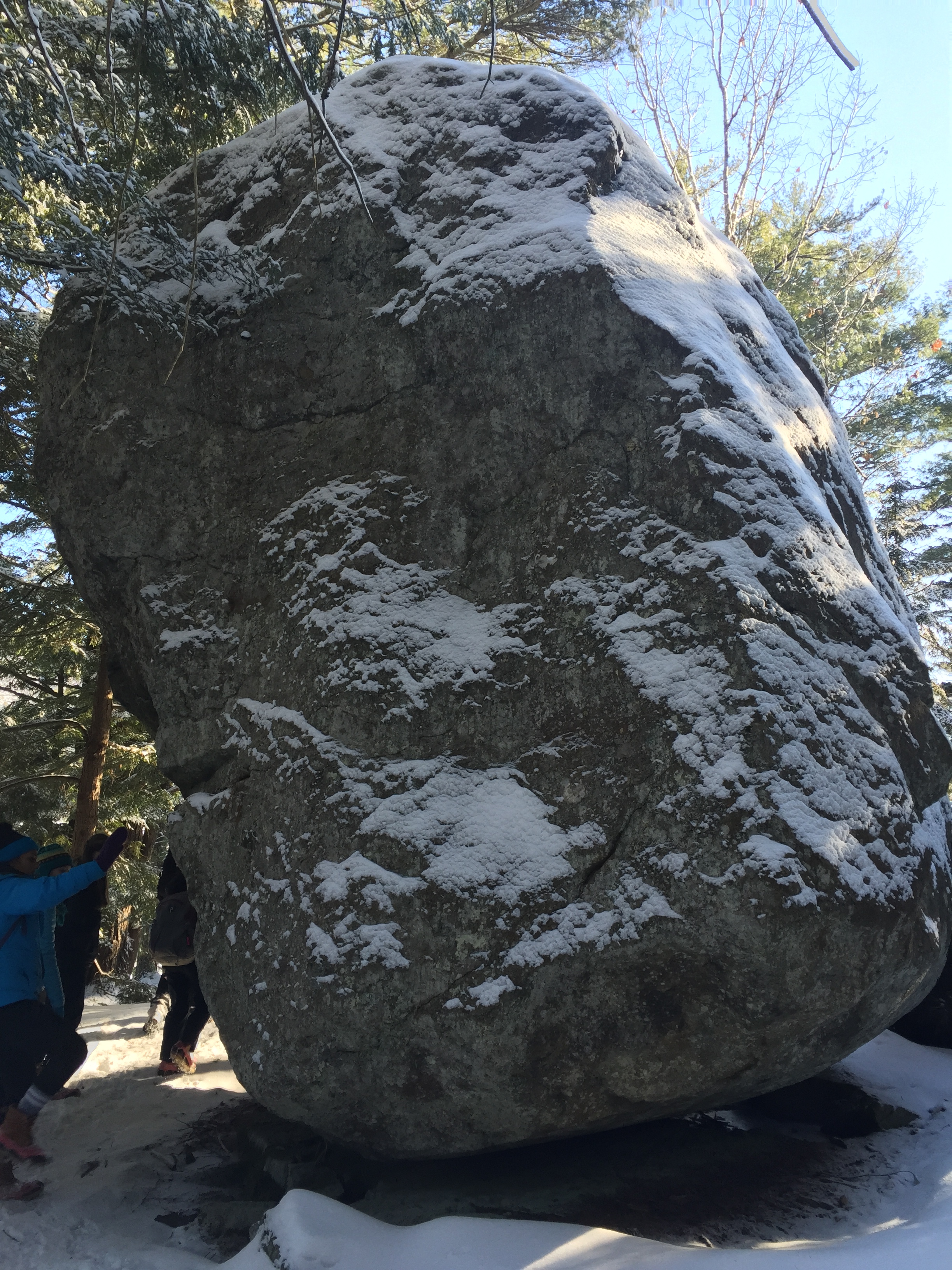
It had to be the right day. After suffering through two long weeks of temperatures in the 80s, I finally found a day where the temperature would be only 70 degrees – perfect. My choice of hiking destination wasn’t too difficult – I figured I’d return to a beautiful set of rugged hills in the western Connecticut town of Kent, located in a state park called Macedonia Brook.


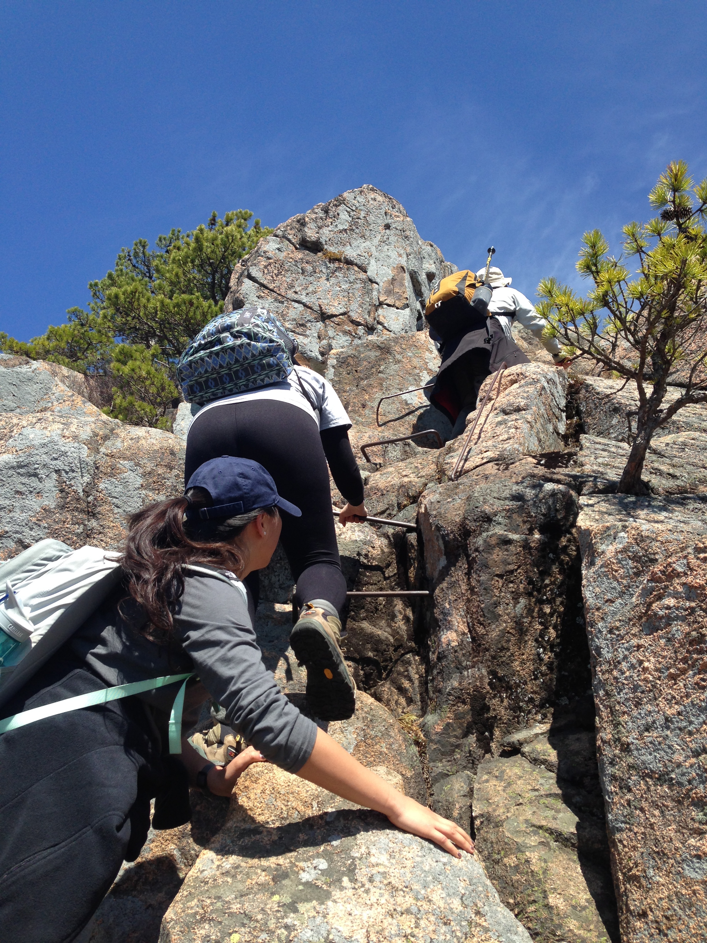
I had done the 6.7-mile loop, climbing the highest hills in the park, once before, eight years ago. I wondered how much I would remember from then. The most salient facts that I remembered were that the scenery was incredible, and that the trail had, to quote the hike book, an “eight-foot ledge with minimal handholds” and a “thirty-foot sloping ledge” that were always interesting, and they proved to be this time as well.


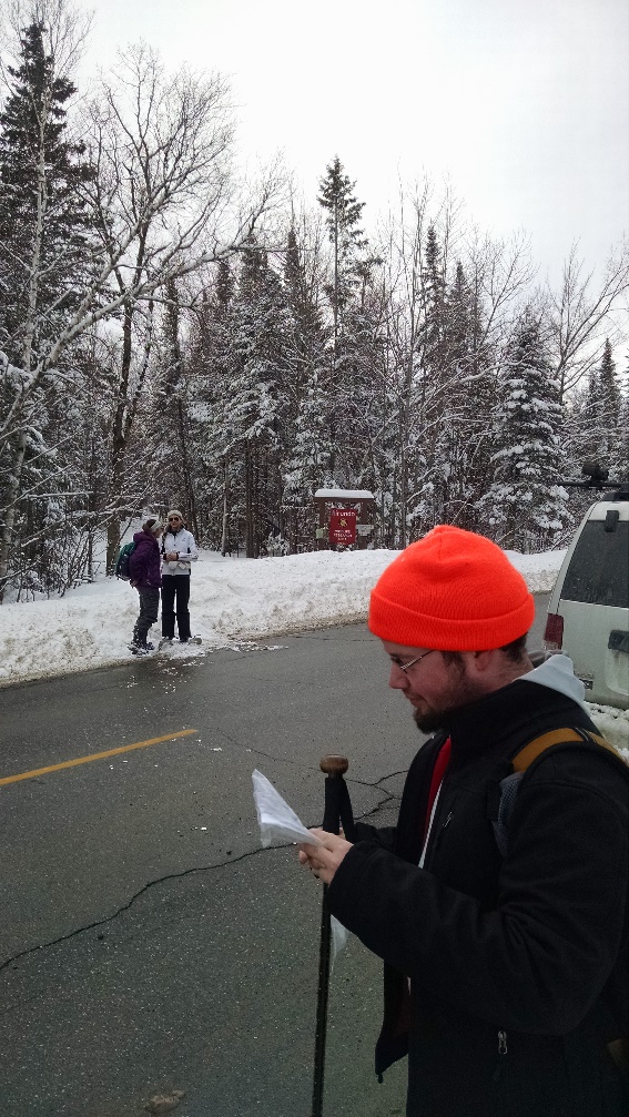
And so it was at 10:15 AM on Saturday, June 27th that I pulled up to the trailhead in Macedonia Brook. It was located near a series of campsites, and the namesake brook babbled peacefully nearby. Without much hesitation, I started up the trail on the east side of the valley.


I hiked the first half of the loop in record time. This is the easier half, with relatively good footing (at least compared to the second half), and mostly gentle slopes. I enjoyed listening to the birds chirping and watching the ants crawling and the squirrels jumping. At one point, I crossed a road right next to a stream, and out of the stream flew a heron! Once I had joined the trail on the other side, the heron went back into the stream. I felt bad for disturbing it.


Twenty minutes later and one more hill conquered, I tumbled out onto another road, where a vehicle was parked. I noticed that the vehicle had a Georgia license plate, and briefly wondered why a Georgian would come all the way up to Connecticut just to hike Macedonia Brook. Then I saw that the license plate had Fulton County emblazoned on it. It all made sense to me now. Clearly Owens had come to do some hiking here, and I wondered briefly if I would bump into her. Of course, if she had started at the same place that I had, then she would probably have finished the entire hike already by the time I got to the vehicle, but that’s another story.


(The vehicle wasn’t actually Owens’. Her vehicle does say Fulton County, though.)


I then walked along a road that had been built by the Civilian Conservation Corps in the 1930s, and mentally thanked FDR for it. I soon approached another road. However, as I did, I heard a strange noise from the other road, and looked down to see what it was. I could hardly believe it. It was a yeti.


I quickly hid behind a tree, hoping that the yeti would just continue along the road and not notice me. However, the yeti stopped moving, pointed its head in my direction, and started to growl. I got very nervous.


The yeti took a few meaningful steps toward my position. I wasn’t sure what to do. Should I run away as fast as I could? Should I yell and scream in the hopes that someone was there nearby who could fight off the yeti? Or maybe I should try to fight off the yeti myself. I did have my walking stick with me.


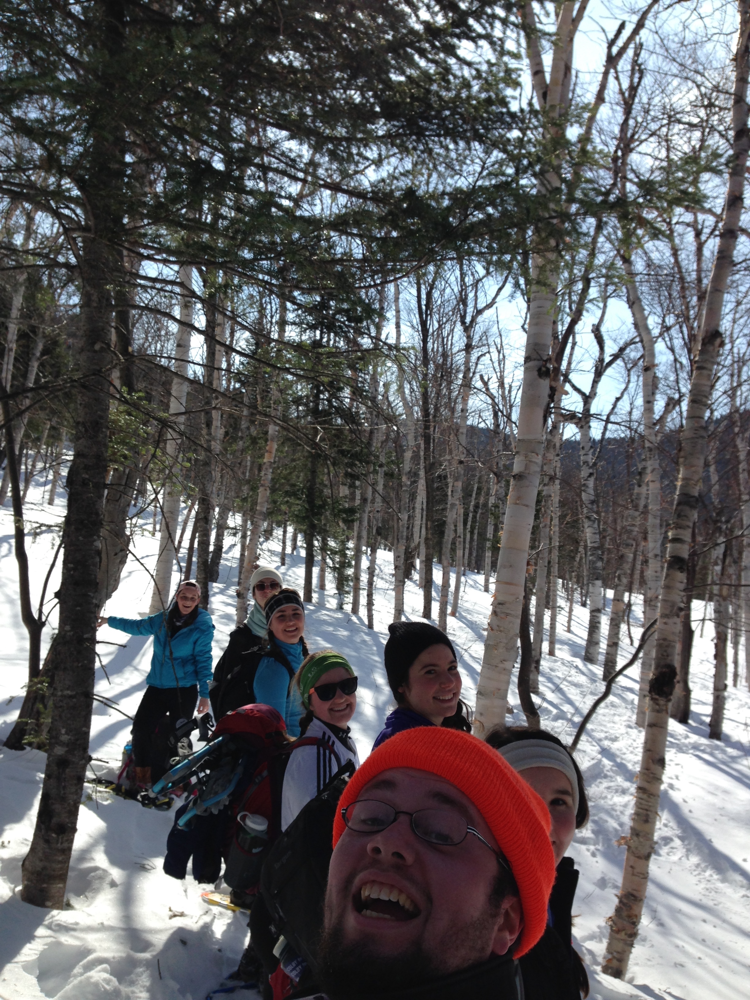
Suddenly, I heard a noise in the shrubs next to me, and a small child emerged. He waved at me, and then ran along toward where the two roads met. I realized that what I thought was a yeti was actually just a group of hikers coming up the road. I laughed it off, and we enjoyed witty banter.


One hill after that, and I was standing at the bottom of the eight-foot ledge with minimal handholds. I ultimately scaled the ledge without too much difficulty, but I needed all of my five feet and five inches to do so, and that left me wondering, “How on earth did I do this eight years ago?”


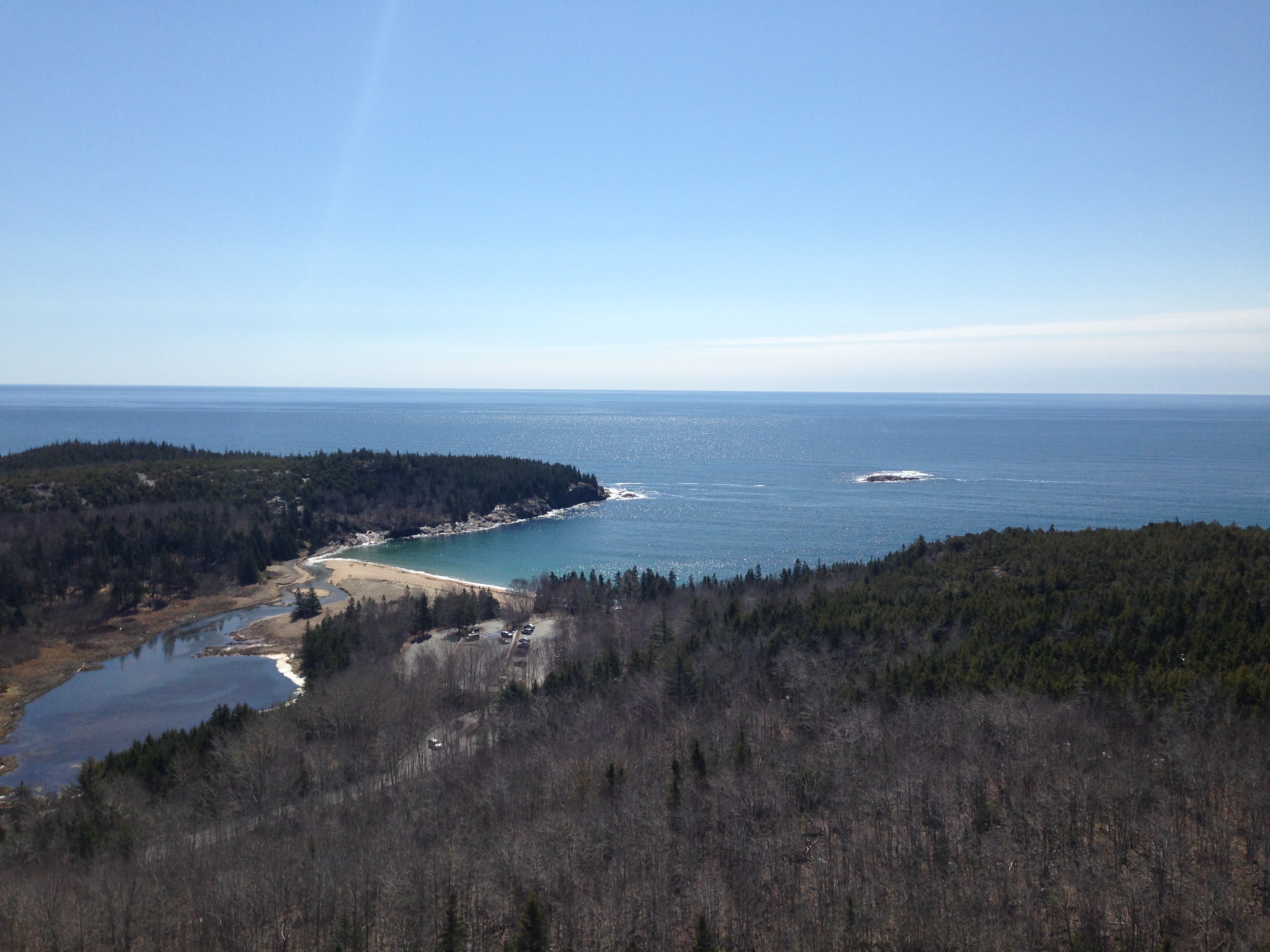
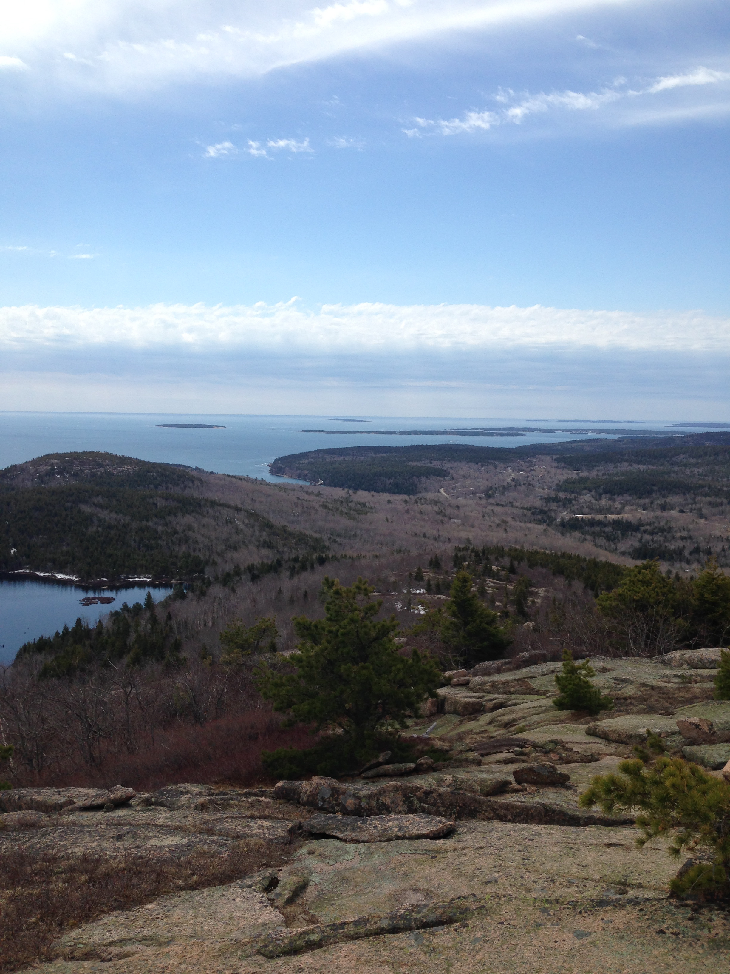
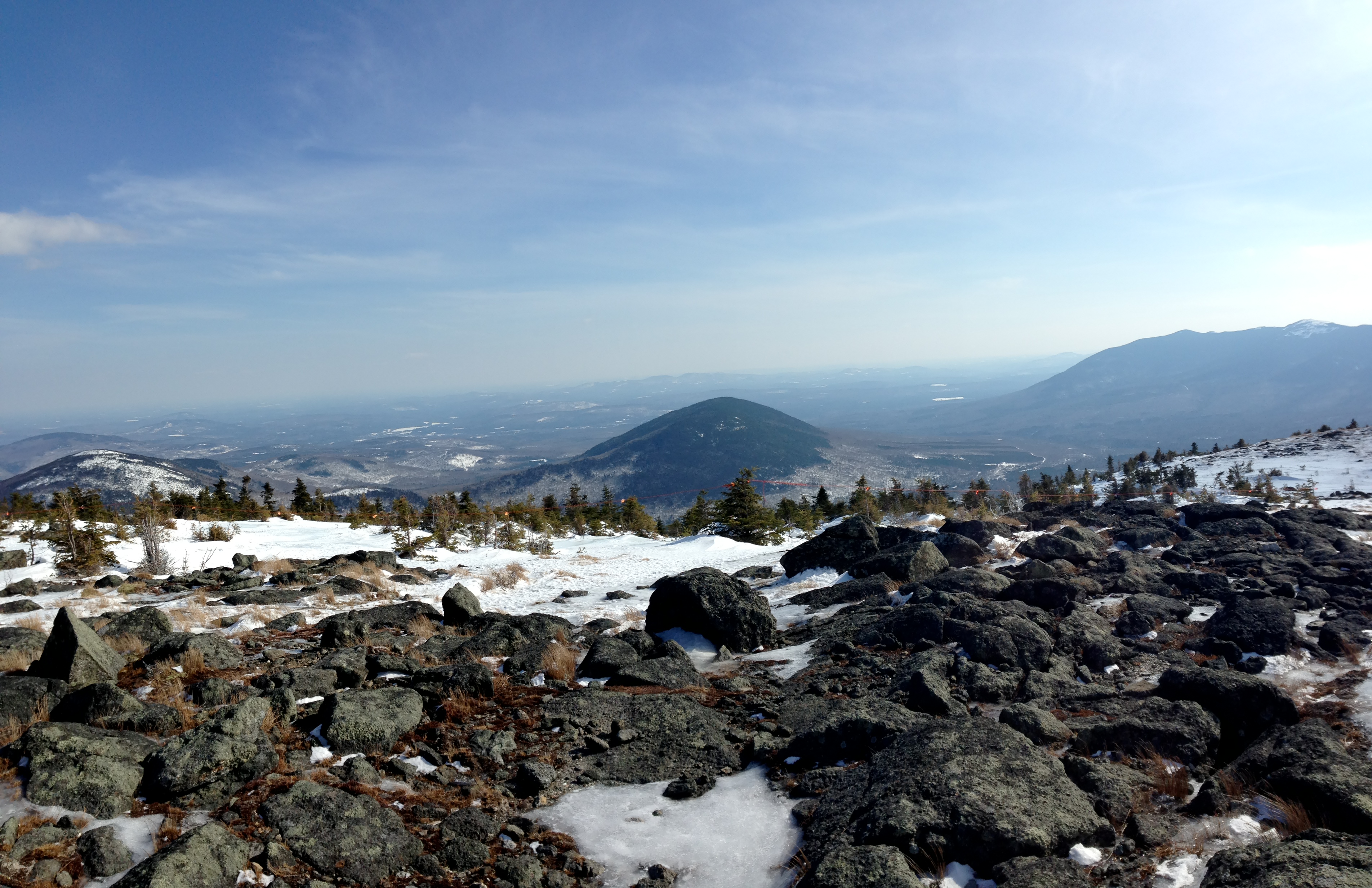
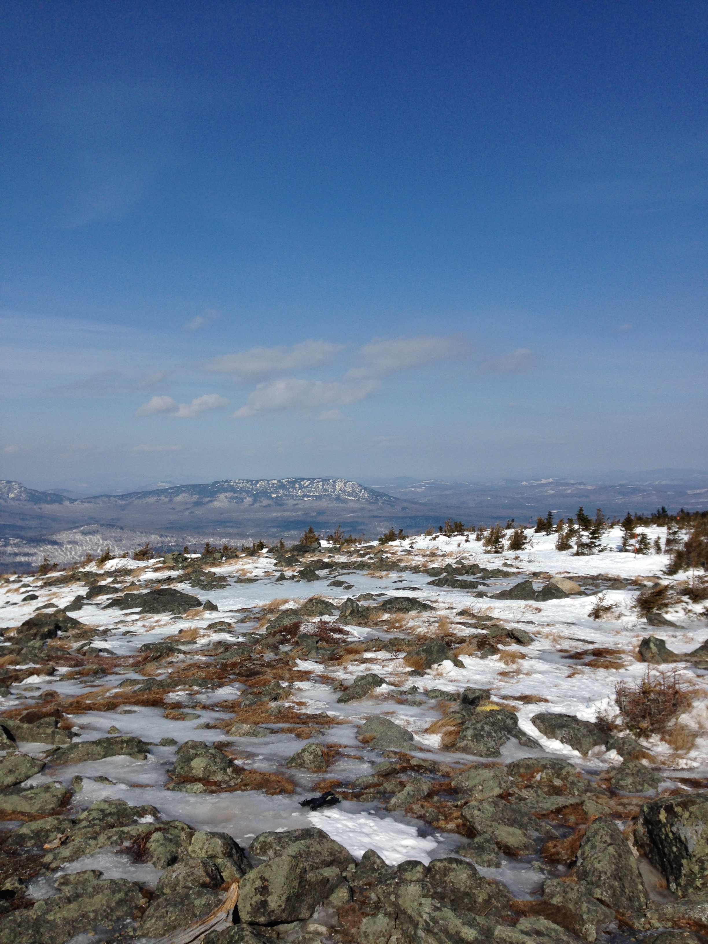
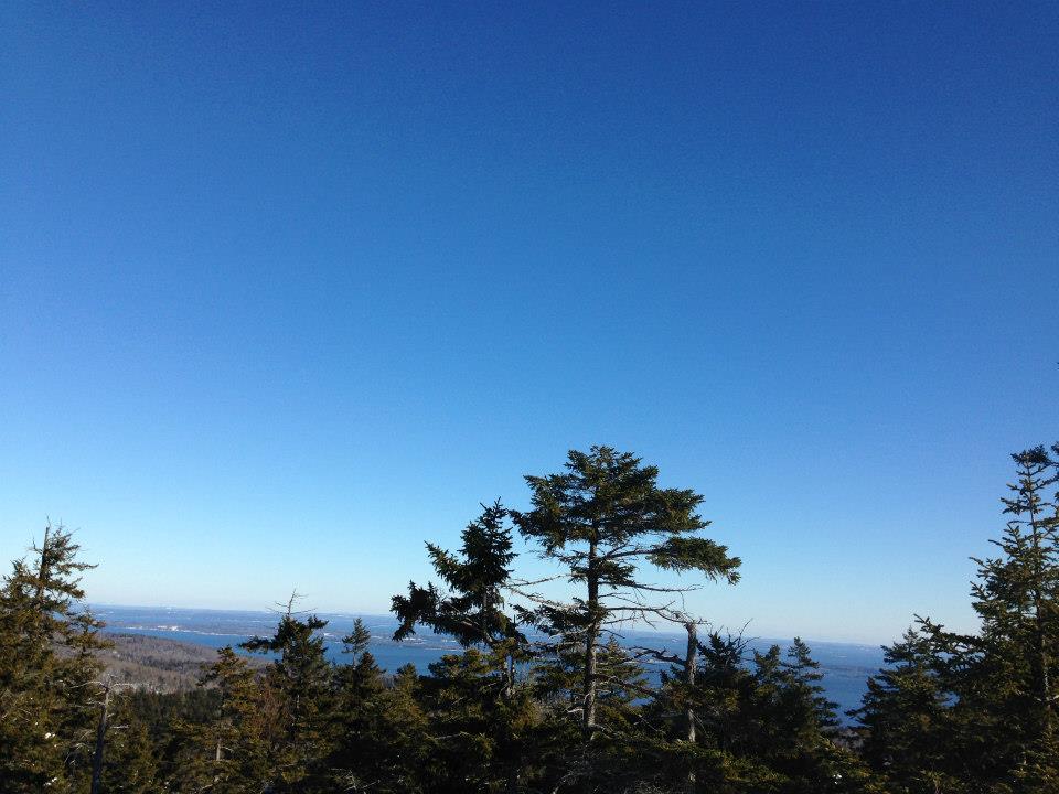
After I climbed the 30-foot sloping ledge, I suddenly felt exhausted, as if all my energy had just suddenly disappeared. I wasn’t too surprised, though. I had, after all, done the whole hike so far at a pretty quick pace. It reminded me of the Katahdin trip my junior fall, where I had plenty of energy to climb the Abol Trail, but as soon as I got to the Tableland I felt totally drained. However, I knew that the summit of Cobble Mountain, which has the best views in the area, was pretty close, so I summoned up my energy reserves and made it to the top.


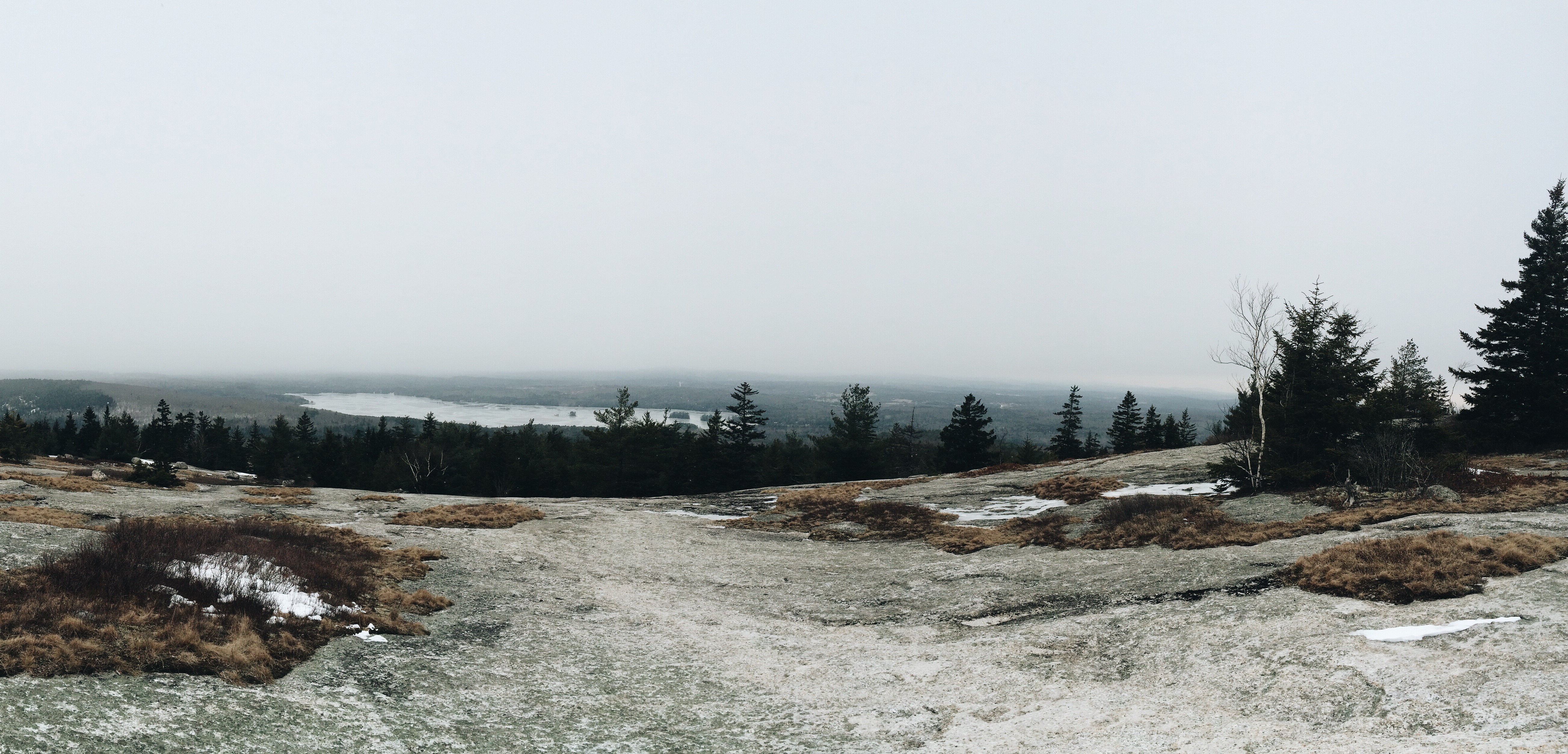
The summit of Cobble Mountain is exposed to the west, and thus has an unobstructed view in that direction. I could see the Taconics in New York, and beyond that the Catskills. When I opened my lunch, I suddenly remembered that, along with my standard peanut butter and Nutella sandwich, I had also brought a special strawberry from the garden at my house. I named this strawberry BERR, and for the remainder of the hike I carried it in my pocket, wrapped in a spare sock that I had brought. From this exposure, Berr clearly learned a lot about the outside world that most strawberries don’t have the opportunity to learn. Unfortunately, once I reached the trailhead again, I found that Berr had started to turn colors from internal and external bruising, and that the leaves were going brown. Berr clearly needed immediate medical assistance. Luckily for Berr, I did just earn a diploma from a particularly fine institution, so I used the knowledge and skills represented by the diploma to tend to Berr. I opened my mouth and my stomach’s fluids welcomed Berr’s not-particularly-doughy substance with great pleasure. He had a good home in my digestive tract for a few hours.


At the summit, I also briefly considered holding a flag behind me in a pose that Eric knows well, however I was deterred from this by the fact that 1) there were other people on the trail, and 2) it started to rain. I hiked the final 1.5 miles downhill through a light rain, which was refreshing. As Sam knows, it wasn’t my first hike where precipitation began while at the summit.


The hike was pretty close to perfect. The weather (mostly) cooperated, the trail was a mix of easier and more difficult sections, and the scenery was classic Litchfield Hills. I hope that all of you are going on lots of hiking trips (or, in Owens’ case, sea kayaking trips), and I’d love to hear about them!

I Return… To the Place Where I Almost Fell Off an Ice Cliff

By Gregory Naigles


Location: Salisbury, Connecticut

Difficulty: 3.0


I wanted to find the perfect day for a hike. All last week was insanely hot, and over the weekend and in the first part of this week, it rained. However, I could see that June 3rd would be both sunny and not too hot, so it was the clear choice for my hike. I then had to figure out where to go. After thinking about this only briefly, the logical decision seemed to involve visiting the place where, only 14 months ago, I almost fell off an ice cliff. This hike also involved ascending the highest peak in Connecticut, Bear Mountain, located in the extreme northwest corner of the state. Driving up from home, I passed through Spencer’s old stomping grounds in Barkhamsted, and briefly wondered what he did in his spare time when skiing wasn’t possible.


(Just FYI – interesting fact. Bear Mountain is the highest peak in Connecticut, but it is not the highest point. Just northwest of Bear Mountain is Mount Frissell, whose summit is in Massachusetts, but whose south slope extends into Connecticut. The point at which the south slope of Mount Frissell hits the border with Connecticut is at an elevation of 2,380 feet, while the summit of Bear Mountain is only 2,316 feet. Thus, the south slope of Mount Frissell is the highest point in Connecticut, while Bear Mountain is the highest peak in Connecticut.)


There were three other cars at the trailhead on Undermountain Road (Route 41) in Salisbury when I arrived. I set off just before 11. The last time I had done this trail was that time 14 months ago, during Spring Break 2014. The trees and shrubs hadn’t bloomed yet, so I could see the countours of the area around me. Not this time. Everything was green and in bloom, and it pressed in against me, so that I could barely see off the trail. But I had hiked this trail, the Undermountain Trail, several times before (this was actually my sixth ascent of Bear Mountain), so I knew what to expect. I made good time up the first part of the trail, and made it to the junction with the Paradise Lane trail, a 1.1-mile distance, in almost exactly a half hour. This is pretty fast by my standards, although I’m sure Owens would have left me in her dust if she had been there.


At the junction, I knew that the Paradise Lane trail would be a right turn, so I took the first right turn that I saw. In not too long of a distance, I found myself in a camping area. This was unexpected, since I had used the Paradise Lane trail at least twice in the past, and neither time did I encounter a camping area. I assumed the trail must have been rerouted. But then the trail just seemed to end at the camping area. There were a few side trails there, but they were just to the wash area and the privy. The woods road that the trail had followed to get to the camping area quickly became overgrown and unblazed past the camping area. I was briefly confused, since I had never had this problem before, but then I saw a sign that said ‘Trail’, and a trail that went up the steep hill just west of the woods road. My confusion was only slightly allayed, since I did not recall this steep ascent on this trail either, but I followed the trail up the hill.


The short ascent took me up to the Riga Plateau, where the trail quickly ended at a T-junction. There were no signs at all, and only the trail to the left had blazes. However, I knew that I wanted to go to the right instead, so I took a right, and followed the unblazed but well-maintained trail for at least a mile. I suspected that this was the Paradise Lane trail, but I couldn’t be sure. However, gradually my suspicions were confirmed. The east side of Bear Mountain became visible from the trail, something that I remembered from past uses of this trail. In addition, the trail gradually became more blazed, and ultimately I arrived at the junction with the AT north of Bear Mountain, 2.1 miles from the junction with the Undermountain Trail.


I turned left and started the ascent of Bear Mountain. Just before the mountain reared up ahead of me, I passed through a flat area, where the trail to the cabin on the northwest slope of Bear Mountain meets the AT. The trail goes sideways up the mountain a bit, but then turns and goes straight up. The rock ledges were everything that I remembered them to be – big, tough, and fun. About halfway up, I saw a particularly high ledge, and a tree right at the edge of it, and recognized it as the place where I had almost fallen off an ice cliff 14 months ago. I remembered what happened – I had lost my balance on the ledge (not hard when the trail is icy and you’re wearing a backpacking backpack), and ended up sitting right at the brink of the ledge, straddling the tree, with it being the only thing preventing me from falling off the ice cliff. I couldn’t move because my backpack was heavy and my snowshoes couldn’t get any traction. If I had fallen off the ice cliff, I could easily have broken some bones. So instead, I took my backpack off and let it fall down the mountain, and without that weight I was able to get up and find a safe way around the cliff. Luckily, this time there was no ice or snow, so I was able to ascend the ledges without much trouble.


I always enjoy the summit approach on Bear Mountain. Finally the open sky comes into view, and gradually the monument as well. From the top of the monument, the views are amazing in all directions, but particularly north and east. Two people were there when I arrived, and I learned that their plan was to go back down the way I came up, and take the Paradise Lane trail back around to the Undermountain trail. They left about five minutes after I arrived.


While enjoying the views, I ate lunch, which was, as usual, a peanut butter and Nutella sandwich. I encountered a bunch of people at the summit – one thru-hiker, two people who looked like section-hikers, and a few others who were waiting for the rest of their group to show up (they never showed up – at least not while I was there). After spending a half-hour at the summit, I went down the much-more-gradual north slope of the mountain. I encountered a bunch of people on that section of trail as well, and they were all asking how far it was to the summit; this is the kind of trail where you always think that you’re almost there but never are. I made good time to the junction with the Undermountain Trail, which I took back down.


Just as I was approaching the junction with the Paradise Lane trail, I saw a pair of hikers on the Paradise Lane trail also approaching the junction. Sure enough, it was the two people who had left the summit five minutes after I arrived. We exchanged pleasantries, and as they continued down the mountain, I looked around briefly at the junction. It was not the same junction where I had joined the Paradise Lane trail going up.


I suddenly realized what had happened. On the way up, the first right turn that I saw, which I took, wasn’t actually the Paradise Lane trail; it was just the trail to the camping area. The actual Paradise Lane trail junction was a few hundred feet up the trail from that first junction, at the place where those two people had come out from. The trail that I had taken up the hill from the camping area was clearly just a connector trail. And the trail at that T-junction clearly was, in fact, the Paradise Lane trail, which explained why it went in both directions.


Now that I understood all of this, I was content to continue my descent. I hiked down the rest of the trail about 500 feet behind those two hikers. I made excellent time going down, taking only 80 minutes to descend from the summit to the trailhead. Thus, I spent a total of 3 hours and 20 minutes hiking (not including the half-hour I spent at the summit eating lunch), which isn’t bad for a 6.4-mile hike that ascends 1,600 vertical feet.


At the end, I felt satisfied, which is always the right feeling to have at the end of a hike. Bear Mountain had never failed me in the past, and it certainly didn’t fail me now.

An Amazing Hike up Windswept Little Jackson Mountain

By Gregory Naigles


Location: Weld, Maine

Difficulty: 3.2


I got bored during Senior Week; no more work, graduation preparations haven’t begun yet. Thus, I figured that the natural thing to do was to go hiking. I debated a bit about where to go – I wanted to climb Mt. Abraham (which I will do on Thursday), but I wasn’t sure about the snow and ice situation at the tops of those mountains. Thus, I decided to climb a slightly lower mountain before doing Mt. Abraham. I eventually chose Little Jackson Mountain, which is just east of Tumbledown, and about 400 feet higher, and has lots of open ledges at the summit and great views (on nice days, at least). Thus, Wednesday morning I left Colby eager to climb a great mountain (and do my first solo mountain climb in Maine).


I had waited until Wednesday because of the rain on Tuesday, and the weather forecast said that Wednesday would be partly cloudy but without any rain. However, this forecast proved to be a bit optimistic, as twice during the drive to Little Jackson there were brief periods of rain. However, the temperature was excellent (not too hot and not too cold), and there were very few insects to annoy me.


I decided to park at the trailhead on Morgan Road, rather than at the Brook Trail area and have to walk an extra mile. This isn’t recommended by Maine Trail Finder or the AMC Maine Mountain Guide, however it worked just fine. Morgan Road is a dirt road that is more rugged than the dirt road where the Brook Trail trailhead is located, however my tiny vehicle still managed to traverse it just fine, so it would be a piece of cake for Big Red or the Bossi-van.


The trail was easy to follow. The only unsigned junction is the first one, maybe 0.2 miles from the trailhead, where the Parker Ridge Trail goes left and the Little Jackson Trail, which I took, goes right. There’s a sign for the Parker Ridge Trail, but not for the Little Jackson Trail. The trail then ascended at a moderate grade. It includes two well-blazed detours around the dominant woods road where the road was washed out. The Pond Link junction was well-signed, and I continued to the right at that junction toward Little Jackson. The next part of the trail involved crossing several streams (very easy) and then went up a short, steep section on rocks and dirt. This part certainly requires exercising caution, but it wasn’t that hard.


The steep section leveled out at same time as the trail finally reached above the trees and onto the open ledges. From here, it was a very windy 0.8 miles to the summit. So windy, in fact, that I put on the extra layer that I brought just in case, and took off my hat since I was concerned that it would blow away. The day was a bit foggy, so the views weren’t quite as amazing as they would be on a clear day, but they were still excellent. The trail was a mix of open rock, and the kinds of vegetation that Sam is named after. It took me, a relatively slow, solo hiker, almost exactly 2 hours to hike the 3.4 miles and 2,300 vertical feet to the summit.


The summit had a large cairn and a USGS marker, and helpfully also had a small rock structure that offered some protection from the wind. If Eric had been there, we all know what he would have done, however I didn’t do that, since there really isn’t much point if there’s no one else there to document it.


I headed down relatively quickly, since I wanted to eat lunch somewhere that wasn’t quite as windy. On the way down the open ledges, the wind picked up, and my ears started to get very cold. I began to think that a hat like Lydia’s yeti hat might have been useful. I ultimately ate lunch just before the trail went under the trees – there were great views of Webb Lake and the mountains to the south.


I then ducked under the trees and went down the same way. It took slightly less time for me to go down. Ultimately, the whole hike took 4 hours and 10 minutes – 2 hours to go up, 20 minutes for lunch, and 1 hour and 50 minutes to go down. By this point the weather had improved, and the 90-minute drive back to Colby went smoothly.


I highly recommend this hike for people who want an alternative to Tumbledown in the same area, that is a little higher, a little longer, and still has lots of open ledges. The views were pretty good even today; I can’t imagine how nice they would be on a clear day. Additionally, Little Jackson is much less crowded than Tumbledown – I didn’t see a single other person on the trail today.

Gregory’s Last Stand

Last weekend, an enterprising group led by Gregory and Nathaniel had the wonderful opportunity to climb the Beehive Trail in Acadia. After months of preparation, including group dawn workouts, morning pool sessions, and Weightlifting Wednesdays, our group was finally ready to tackle the beast that is the Beehive. Hailed by Jared from Subway as ‘’the mountain to end all mountains, except for maybe that hill in my backyard,” the Beehive stands at a whopping 520 feet. And, the Beehive Trail has iron rungs built into the mountainside at the steepest sections- quite terrifying, but fortunately some of us only have a severe case of acrophobia.

After a dinner in Dana of burgers and salad, we departed for Acadia around 6 p.m. and arrived by 8. We quickly set up tents, and then, using our headlamps, we walked half a mile to Maine’s coastline to stargaze.  As we emerged onto a set of rocky cliffs overlooking the ocean, we all collectively gasped. Alan had tripped on a rock, and fallen into the tumultuous swells below!! And thus the fellowship was broken, and our group suddenly became 7. (If Alan’s parents happen to be reading this post, do not be alarmed. He washed up in Bar Harbor a couple days ago with a big smile on his face and a starfish stuck to his butt.)

But seriously, the stars were beautiful. As we basked in the glory of the Milky Way (a fairly chill galaxy that lies between the Twinkie Solar System and the Mars Bars Constellation), Owens and Gregory serenaded the group with songs by Fleet Foxes. The duo left us utterly content, and we rested under the stars for far longer than we had planned.

The next morning, we woke up around 8 a.m. to a glorious morning- birds chirping, a cool, crisp breeze, and the sun steadily rising above the treetops.

As Nathaniel stood up, he felt as though he had a sack of bricks in his stomach. The Dana Burger. If any Acadia ranger is reading this, he would like to apologize for what he did to your bathroom.

After a breakfast of jelly, nutella, bagels, PB, and summer sausage- and another toilet run- we were off to the trailhead. First up was the Ocean’s Path, an aptly named trail that winded alongside the Atlantic Ocean, providing us with sweeping views. After a mile, we found the trailhead for the Beehive.

The trail ascended moderately, almost immediately taking us above tree line, before we encountered the iron rungs. One by one, we hoisted ourselves up over the cliffs of the Beehive, with only one minor fatality. Gregory, our fearless leader, led the charge, swinging haphazardly from one rung to the next like a monkey on monkey bars.

IMG_1721


Gregory courageously leading the charge.

Meanwhile, Nathaniel cowered in fear below a particularly steep section of rock, as Owens yelled encouragingly, “who made you trip leader, NARP!” (Note- NARP= Non-athletic-regular-person, i.e. the author of this post)

IMG_1720

If you take a peek at the two lowest individuals, you might be able to tell that Owens is reprimanding Nathaniel for being, quote, “slower than a beached whale!!”

Note #2- Obviously, Nathaniel is making this up. Owens actually said that Nathaniel is “in both body shape and forward velocity, a human example of the incompetence of a beached whale.”

Note #3- Contrary to popular belief, Nathaniel is in fact only part whale.

Finally, Nathaniel found the courage to hike up the rungs, and within minutes, we had reached the summit, which was notably absent of both bees and hives.

IMG_1724

Jared from Subway was right.

IMG_1726

In this photo, our group contemplates the didactic arbitration between the exponentially growing human population and the transcendent solitude of nature. Henry David Thoreau would be proud.

IMG_1727

Unfortunately, Owens steals the show on this one buddy.

Anyway, we soon continued our hike over to Champlain Mountain. Exquisite vistas greeted our eyes at every step, and almost as soon as we had started, we had reached the summit. We feasted on our bag lunches, pop-tarts, and yum-yummed melted chocolate donuts, and once again, Nathaniel would like to apologize to any ranger or civilian who stumbles upon his second contribution to Acadia. Just kidding, we all know Nathaniel practices LNT.

IMG_1717

Here, a shameless shout-out is in order. Alan carried a Frisbee to the summit, which was awesome! We all chucked the Frisbee around for an indefinite period of time – who knows, Alan or Savannah might still be up there, chucking away – before heading back down the same trail. Gregory decided to let Nathaniel lead, and he proved his considerable leadership abilities by getting the group lost (and luckily found) twice. But we continued downwards nonetheless, encountering many families with dogs along the way. The families greeted us with pleasant hellos, while the dogs squealed with delight as we gave them impromptu tummy rubs.

IMG_1730

So yeah, that was the trip. Everyone on the hike was fantastic and super fun to be around, and the weather could not have been more gorgeous. Also, the Beehive was a fantastic hike and we would highly recommend it to hikers of all ages, unless you’re a dog or other animal lacking opposable thumbs (I’m looking at you, Snail).


P.S. This was Gregory’s last trip. He is a great, passionate dude who loves to hike (and revel in amazing views, among other things), and we will be sad to see him go. He went on 45 COC trips and led 15, which is pretty darn incredible. Visit next year buddy!!! (I’ll try! –Gregory)

IMG_8949

The COC vs. the Goliath of Burnt Mountain (hint: the COC wins)

Trip Date: March 7, 2015

Trip Location: Burnt Mountain: Carrabassett Valley, Maine

Trip Type: Snowshoeing

Trip Difficulty: 3.1

There we were, facing the goliath of rock that stood unmoving, unfaltering, unyielding to any force of nature. Burnt Mountain. The beast. The ice monster. The challenge. We were going to climb it and conquer it. Nothing could stop us. There we were, facing the goliath.

We set off, trekking the snowy path that drifted and sloped, winding around tawny birch trees and shivering pines that peppered the mountainside with spurts of green. We were shivering and sniffling in our snowshoes but soon the blazing sun put beads of sweat upon our brows, forcing us to remove layers. The ski trail was packed and smooth so we made excellent time to Burnt Mountain Trail. Upon arrival, we caught our breaths before continuing our schlep through the powder.

The real journey began once our boots hit the trail. The group muscled through the cold, churning up snow fine as confectioner’s sugar, stubborn as mules. The hike seemed to drag on but we refused to give into the cold that gnawed at our legs and bit at our faces.

IMG_2631

Suddenly, a Yeti leapt out from behind a rocky alcove where it was lurking. The hulking, hairy beast whipped its white claws at us, roaring ferociously. Someone had worn cotton…and Yetis love eating cotton. Knowing this, we fought back. We threw snowballs and chunks of ice at the furry animal. Then, out of nowhere, it snatched up our courageous leader, Gregory, and gobbled him down. This was Gregory’s last snowshoe before graduation and we were not going to let it end like this. We gathered our resources and bombarded the beast until he spat Gregory, still thrashing, out of his mouth. The Yeti knew then that we could not be beaten! It whimpered and slipped back into its cave, never to be seen again. (This would have been totally awesome if it actually happened but as it turns out, Yetis are very peaceful and reasonable creatures so instead of fighting, we shared some of Gregory’s Nutella with it and swapped riddles.) Cool beans!

IMG_2641

The author of this blog post. Multiply this by eight, and this is how we felt during the hike.

We said our farewells to our Yeti pal and dove back into our strenuous hike. The next section was steep and unrelentingly slippery. Finally, we wound our way past the last scraggly, stunted tree and emerged onto the wind-swept land above tree line. Rocks littered our path with sharp edges and jagged points but we found a spot to eat lunch. After our short break, we pushed through the last bit of icy incline and breached the top of the mountain. We summited the beast at last! We were there going camera crazy, taking pictures of peaks and hills in every direction.

IMG_2633 IMG_2638

We soon became extraordinarily cold being exposed on top of Burnt Mountain so we shimmied back down. We almost lost a few trippers to the deep snow. They sunk through and fell but they persevered through the giggling and hysteria and we all made it safely back down to the car.

IMG_2649

Our next hike began at the base of the Sugarloaf Lodge. This was the most difficult part of the trip. We had to hike steep staircases and maneuver around boisterous skiers and snowboarders. At last we reached our desired destination: the restrooms. After we summited that, we packed up the gear and drove back home to Colby.


A Wonderful Walk in Wintery Woods

Trip Date: February 22, 2015

Trip Location: Old Town, Maine

Trip Type: Snowshoeing

Trip Difficulty: 1.3

Snowshoes

Sunday was a beautiful day for snowshoeing in the Hirundo Wildlife Refuge. Last night’s snow sparkled on the undisturbed trail. Our little group was the first to mark the untouched winter landscape. The white drifts were fluffy and deep, like plowing through powdered sugar.

Unfortunately we saw no real live wildlife at the refuge, but we did see many tracks. Fun fact: chipmunk tracks are incredibly cute strings of dots from tree to tree.

untouched trail

The untouched trail leading off into the majestic distance.


For a sense of snow….

Hirundo sign

Here we see our fearless trip leader surveying the plan of attack into the depths of the snow-bound forest while the troops stand idle in the background.

Gregory with map

The snow was so pretty, still sticking to all the branches.

snow on branches

We discovered a delightful shelter about a mile down the trail and stopped for a quick bite to eat. It was quite cozy. Much fun was had!

in cabin 1 in cabin 2

Farther on we came to the overlook point. I didn’t even take a picture because it was so underwhelming. A circle around a log that is two feet higher in elevation than the rest of the trail is not an overlook in my opinion. Whoopee!

Lunch was made all the better by having Nutella to put on our oreos. It almost made us forget how cold our butts were sitting in the snow.

Sophie in the snow


We also found a sign that said YOU ARE HERE tacked to a tree. And in fact that’s exactly where we were. How did it know? [insert philosophical thought here] This is also happens to be an excellent picture of everyone on the trip.

IMG_0295

All in all it was a fabulous adventure into the wilds of snowy Maine. And what a day for it too! It was almost above freezing as the sun peeked out from behind the clouds.

We Laugh in the Face of Wind

It may be cold and windy, and we may have had to postpone to next Sunday the planned trip to the Hirundo Wildlife Refuge in Old Town, but some of us still wanted to be outside. So Sunday morning, at 11 AM, Anna, Lydia, and Gregory strapped snowshoes to our feet and headed into the Arboretum.

We snowshoed over hills and through valleys. The wind alternately blew in our faces and didn’t blow at all. We took main trails, side trails, dead-end trails, and loop trails. We spotted familiar landmarks and went through totally new areas. But despite everything the weather could throw at us, we still had an amazing time.

Sadly, no pictures were taken so we can’t liven up the blog with those, but this is what the conditions were like:

Picture 2

Picture 1


Trail Difficulty: 1.2

Weather Difficulty: 3.7

A Trip Up the Mountain of the Great Pond

Location: Great Pond Mountain

Date: January 24, 2015

Trip Difficulty (1-5): 2.2

Trip Length: Day trip


This Saturday a group of trippers braved the snowy roads and the icy trails to hike the mountain of the Great Pond near Orland, Maine.  Unfazed by an oncoming storm, the group dominated the hike up the mountain and reached the top in record time.

View from summit

The summit provided the group with some great views and lots of smiles.

At the summit

The way back down the mountain brought about many more challenges than the way up, but along with that came a lot of fun.  The group was faced with trails covered in ice, and no obvious way down the mountain.

Icy trail

Of course, the group made the best of the situation and saw a chance to get some solid buttsliding in.

Maddi buttsliding

Our fearless leaders led the way down treacherous terrain and back to the cars to brave the snowy roads home.

Gregory crossing the ice

Snowy icy road


Despite the lack of microspikes (that were all being used by John and Hannah’s trip), no serious injuries were suffered, even though everyone did fall at least once. That did not prevent our intrepid group from having an amazing day on the mountain.

Camden Hills Yeti Expedition

Location: Camden

Date: January 17, 2015

Trip Difficulty (1-5): 2

Trip Length: Day trip


This Saturday a brave troop of Colby students journeyed to the deepest depths of the Camden Hills in search of the monstrous and mysterious yeti. We are proud to say that not a single explorer was lost along the way during this perilous expedition. And despite the danger, all members of the group were able to don a hearty smile.

Group

At times, the snowshoes they wore gave them trouble…


Near the cliff

… but they eventually got their act together and straightened themselves out.

Our snowshoes

The group’s first order of business hiking on the trail was to find the renowned Maiden Cliff, where 150 years ago it is alleged that a yeti threw a girl over the edge, where she fell to her death. This story was confirmed, as the trippers discovered a large white cross in the place where she was pushed over, and quite a spectacular view to accompany it!

In front of cross

Gathered around cross

After confirming the existence of the yeti, the troop moved onwards in search of the creature himself! They followed what appeared to be his tracks for a few miles…

Open ridge

Just because the team was on a mission doesn’t mean they didn’t have loads of fun!

Dagmar and Kimberly disguised themselves as the yeti to surprise the rest of the group…

Snow in the air


… and they all had a good laugh.

Eventually they arrived at Zeke’s Lookout, the deepest point of the woods, and a fantastic spot for looking out at the ocean.

Zeke's Lookout

There, the team sat down for a refreshing lunch, which refueled them for their long journey home. The balmy 7 degree weather provided perfect conditions for a possible daytime yeti sighting, however, it did not prove to make eating lunch an easy task. Even so, the team prevailed with all limbs intact!

Back out of the woods, no yeti having been spotted, the team of explorers decided to utilize their talents instead by surveying the frozen lake at the bottom of the cliff.

Frozen lake

Overall a fantastic day. Trees, snow, sun, cold, spectacular views, and no wind! But most importantly, the awesome troop of explorers lit up the forest with their good attitude and heart-warming camaraderie.


The first COC trip of 2015!!

Location: Lincolnville, Maine

Date: January 10th

Trip Difficulty (1-5): 1.5

Trip Length: Day Trip

This past Saturday, 11 brave souls attached micro spikes to their boots and ventured into the woods. Fernald’s Neck, just outside of the Camden Hills area, proved to be an excellent hike.

IMG_0431

As we trudged through the powdery snow, it was decided that both Nick and Eric would be eaten first if our trip turned Donner-esque. Within the half hour, we arrived at our first overlook and enjoyed a quick photography break.

IMG_0435

We continued onward in hopes of finding a way onto the frozen pond. We came across the “silver trail” which took us to Balance Rock.

IMG_0443

When we reached the edge of the lake, we saw snowmobile tracks and decided that if the ice could hold a snowmobile, it could hold us. But, just to be sure, we shed some layers and took awesome photos.


After sharing lunch on an island in the middle of the lake, we packed up our supplies (including cholula hot sauce thanks to Hannah) and headed back for the cars.

All in all, it was an awesome day. The wind was minimal, the snow was fresh, and the people were awesome.