As expected with international travel, our day began early and extended deep into the night. We made it as a group to the airport at 5:30 am, and struggled to stay awake in the terminal. Once we boarded the plane, we experienced a slight delay as frigid temperatures and falling snow held up our plane for half an hour. Many of us forgot about the time zone change, and panicked when we thought we would miss our connecting flight in Dallas, however, we arrived relatively early and managed to grab lunch before our two-hour flight to Belize City. ![]()
As our plane descended into Belize City, we weren’t greeted with the commonalities of American culture. We did not see any tall buildings or paved roads, only vast farm fields and unfamiliar rainforests. Hot, humid air rushed to meet us as we exited the plane, a nice change from the icy Maine temperatures we were used to. We went through customs, grabbed our bags, and jumped on the bus with our guides Peter and Marcus for what would be a four-hour bus ride into the jungle.
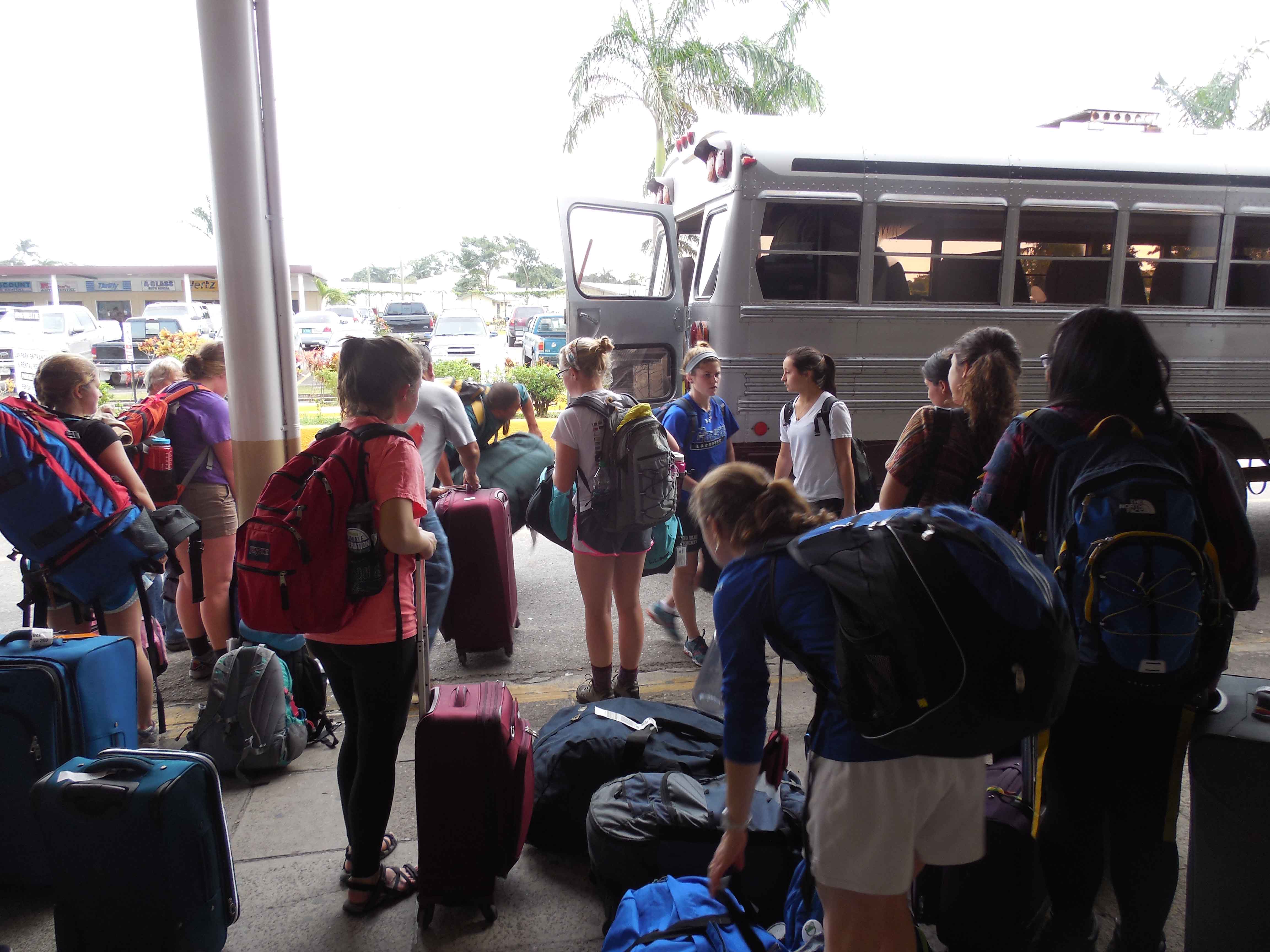
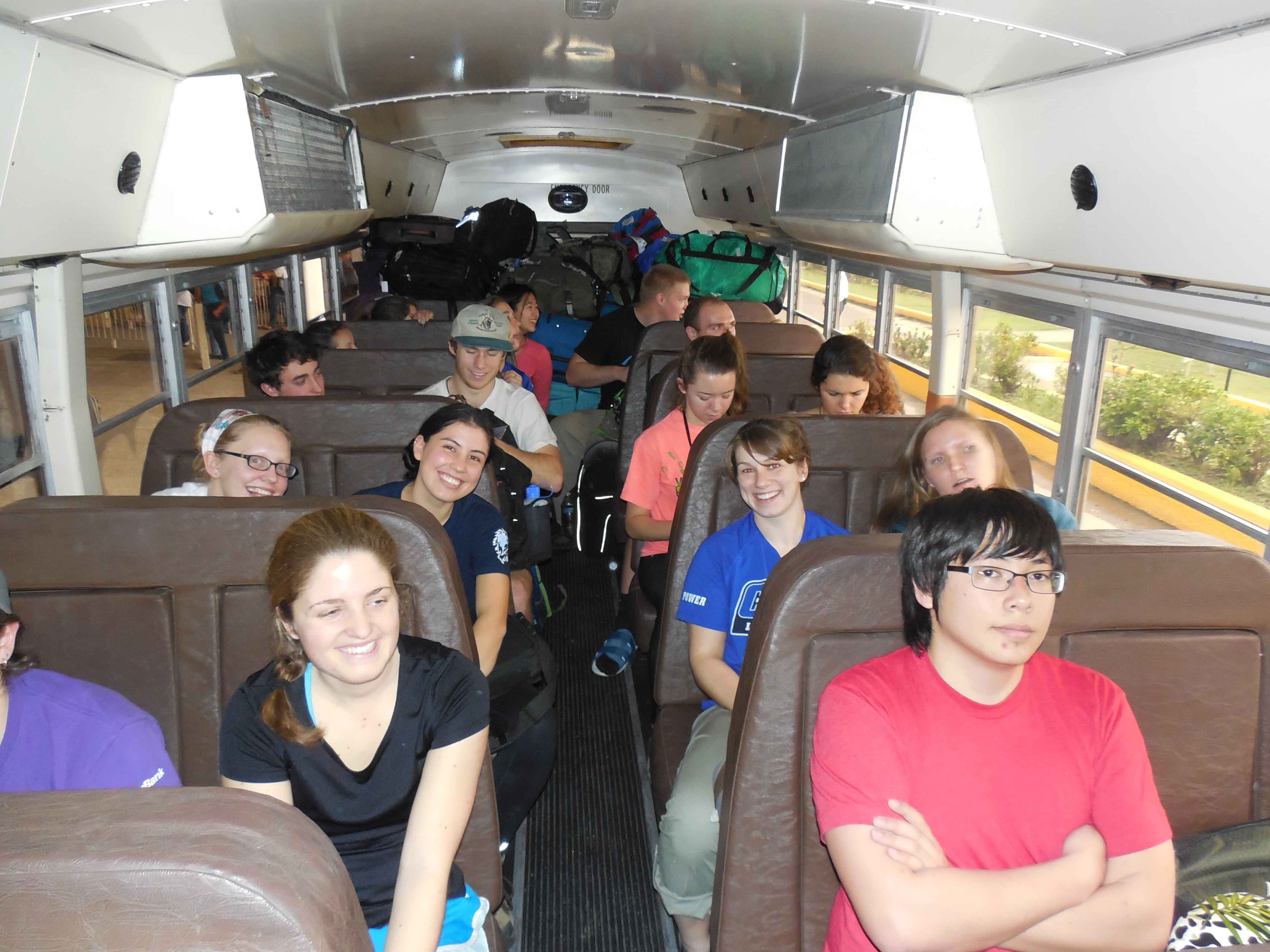
Loading up the bus!
Belize is roughly the size of Massachusetts, because there are only a handful of paved highways, our time traveling to our first study site was disproportional to the distance. Roads had no street signs and were littered with potholes and puddles from the heavy rains that had fallen the previous month. On top of these difficulties, our bus driver had to dodge animals and people walking alongside of the road. Once we left the main highway, the majority of our ride was through local Mennonite farm communities; a challenge because of the many horse buggies in the road. The Mennonites settled in Belize over 50 years ago and now contribute to Belize’s economy primarily through their agriculture. Finally, after hours among fields of watermelons and beans, we reached the entrance gate to Programme for Belize property with another nine miles remaining to the Hill Bank Field Station.
On the road!
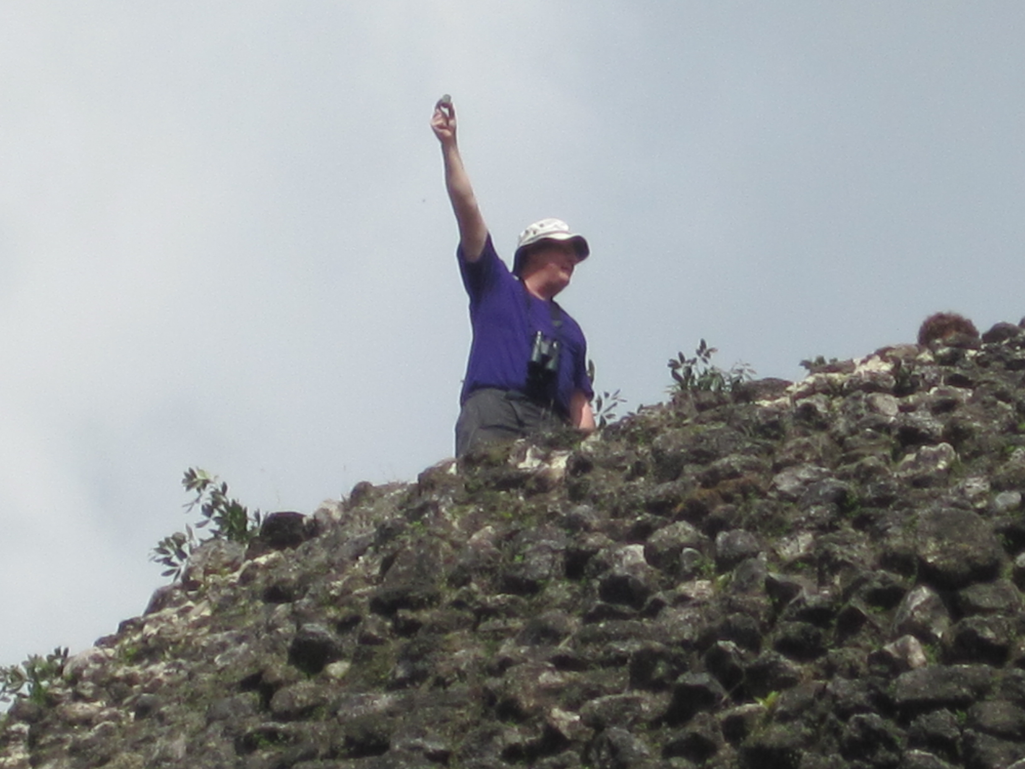
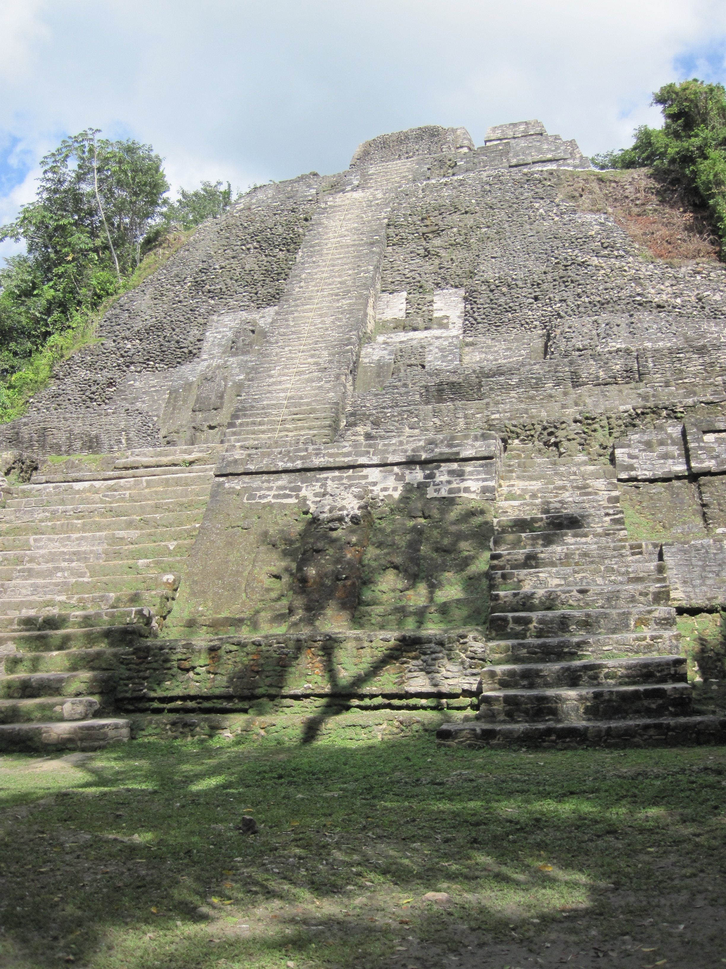
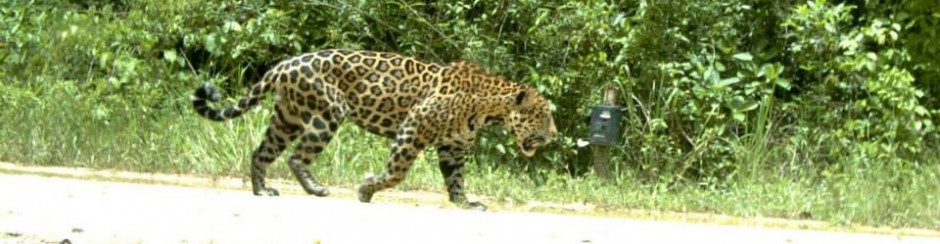
Although it was dark at this time, we were able to see the outlines of a lush tropical rainforest, unlike any we had ever seen before. However, within the final miles of our adventure, the bus hit some deep mud and skidded to a halt. At this point, we had been traveling for over fourteen hours, and this setback seemed like an absolute disaster. Thankfully, our bus driver was able to skillfully maneuver out of the trench once we moved the weight to the back of the bus. Understandably, the entire group burst out into cheers of exhaustion and relief. A short ten minutes later, we arrived at our site, had a quick dinner, and collapsed into our bunks, ready for the next morning of bird watching and rainforest exploration.
-Emma Reif and Kellie Walsh